People all over the world will be able to explore some of Memphis’ most beautiful and compelling locations through immersive, 360-degree imagery in Google Maps. Rhodes College is one of the sites.
This was made possible through the Street View Trekker Loan Program, which allowed the Memphis Convention and Visitors Bureau to borrow the Trekker equipment and capture select locations from around the city including Elvis Presley’s Graceland, Memphis Zoo, Shelby Farms Park, Overton Park, and the Memphis Riverfront.
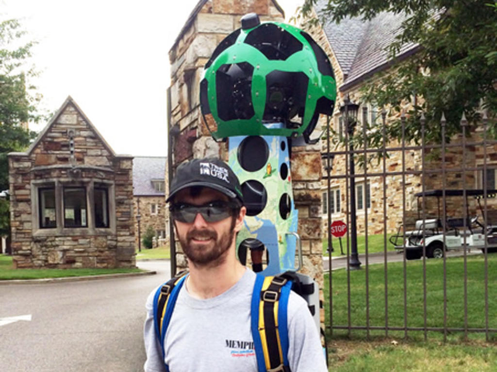
The Google Maps Street View Trekker is a 40-pound backpack with a camera system that enables the wearer to capture panoramic images from all types of locations, especially places that are only accessible by foot. The images are then grouped together and made available on Street View in Google Maps.
Because of the technology, prospective students will be able to explore the Rhodes campus through street view on their desktop and mobile devices.
The Memphis Daily News also has published an article about the project.